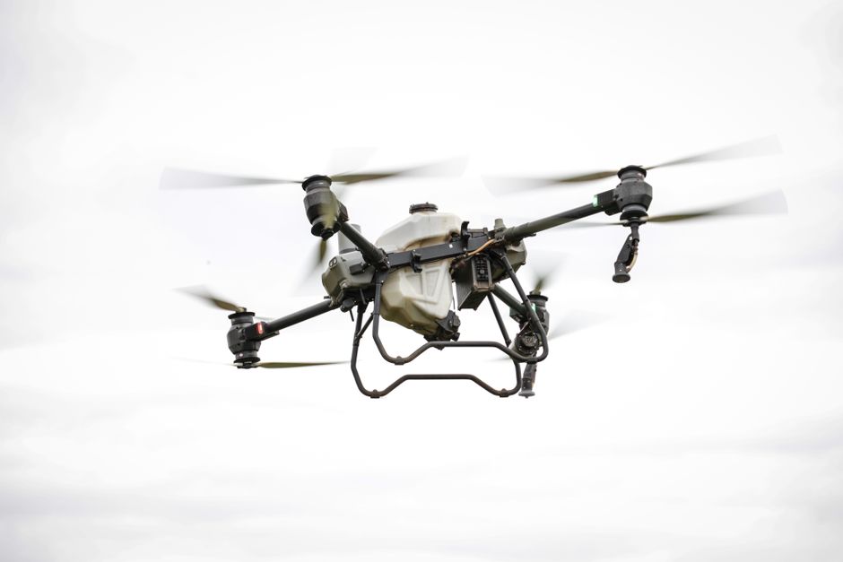
Top drone technologies for accurate aerial survey projects
Rapid advances in drone technology are reshaping how professionals approach mapping, inspection, and surveillance from above. Today’s aerial survey projects demand equipment that delivers high-resolution data, robust reliability, and versatile deployment options. Selecting the best drones for aerial survey work is essential for those who need to capture precise geospatial information, whether for construction, utilities, or environmental monitoring.
Commercial drones: Key features for survey accuracy
Commercial drones have evolved well beyond hobbyist roots, offering features tailored to the demands of professional surveys. High-end systems now integrate multi-sensor payloads, including RGB cameras, LiDAR, and multispectral imagers. These tools enable accurate digital terrain models and detailed orthomosaics. GNSS (Global Navigation Satellite System) receivers with RTK (Real-Time Kinematic) or PPK (Post-Processed Kinematic) correction provide centimeter-level location data, minimizing errors in mapping outputs.
Flight stability and endurance are also critical. Survey sites may cover hundreds of hectares, so drones with extended battery life and advanced obstacle avoidance help maintain efficiency and safety in the field. When evaluating the best drones for aerial survey work, it’s important to look for systems that combine high data quality with the ability to operate in challenging conditions, such as strong winds or variable lighting.
Surveillance and security applications in aerial surveys
While mapping is a primary use case, drones have also become indispensable for surveillance and security in large-area monitoring. Surveillance drones, equipped with zoom cameras, thermal imaging, and real-time video transmission, can monitor infrastructure, borders, or event perimeters. Their ability to cover vast distances quickly provides rapid situational awareness that static sensors can’t match.
In sectors like utilities and energy, drones are increasingly used for routine security patrols. They can detect unauthorized access, monitor remote substations, and even spot potential fire hazards. Integration with automated flight planning and AI-driven analytics allows these systems to flag anomalies without requiring continuous human oversight, boosting both security and operational efficiency.
Drone inspection and utility applications
Drone inspection is now standard across various industries. For utility companies, drones make it possible to inspect power lines, pipelines, and wind turbines efficiently and safely. Equipped with high-resolution and thermal cameras, drone utility inspection teams can identify issues such as cracked insulators, vegetation encroachment, or heat signatures indicative of fault conditions, often without the need for costly shutdowns or manual climbing.
- Faster data collection over extensive assets
- Reduced health and safety risk for inspection crews
- High-frequency repeatability for trend analysis
Automated flight paths and cloud-based reporting streamline the inspection workflow, ensuring that data is consistently captured and easily shared with engineering teams.
UAVs versus drones: What’s the difference?
The terms “drone” and “UAV” (unmanned aerial vehicle) are often used interchangeably, but there are subtle differences. All drones used in aerial surveys are UAVs, but “drone” is a broader term that includes multirotor, fixed-wing, and even hybrid systems. In strict terms, a UAV refers only to the aircraft itself, while a drone may encompass the entire system, including sensors, controllers, and software. For commercial operators, understanding these distinctions helps in regulatory compliance and equipment selection for specific survey or inspection needs.
Where to go next with drone technology for surveys
Choosing the right platform and payload is only the start. To get the most from drone technology in aerial surveys, explore detailed guides on flight planning software, workflow automation, and regulatory requirements for your region. Look for resources that compare sensor types, data accuracy thresholds, and integration with GIS or CAD tools. These next steps will help ensure that your aerial survey projects deliver the reliable, actionable results your business or organization demands.